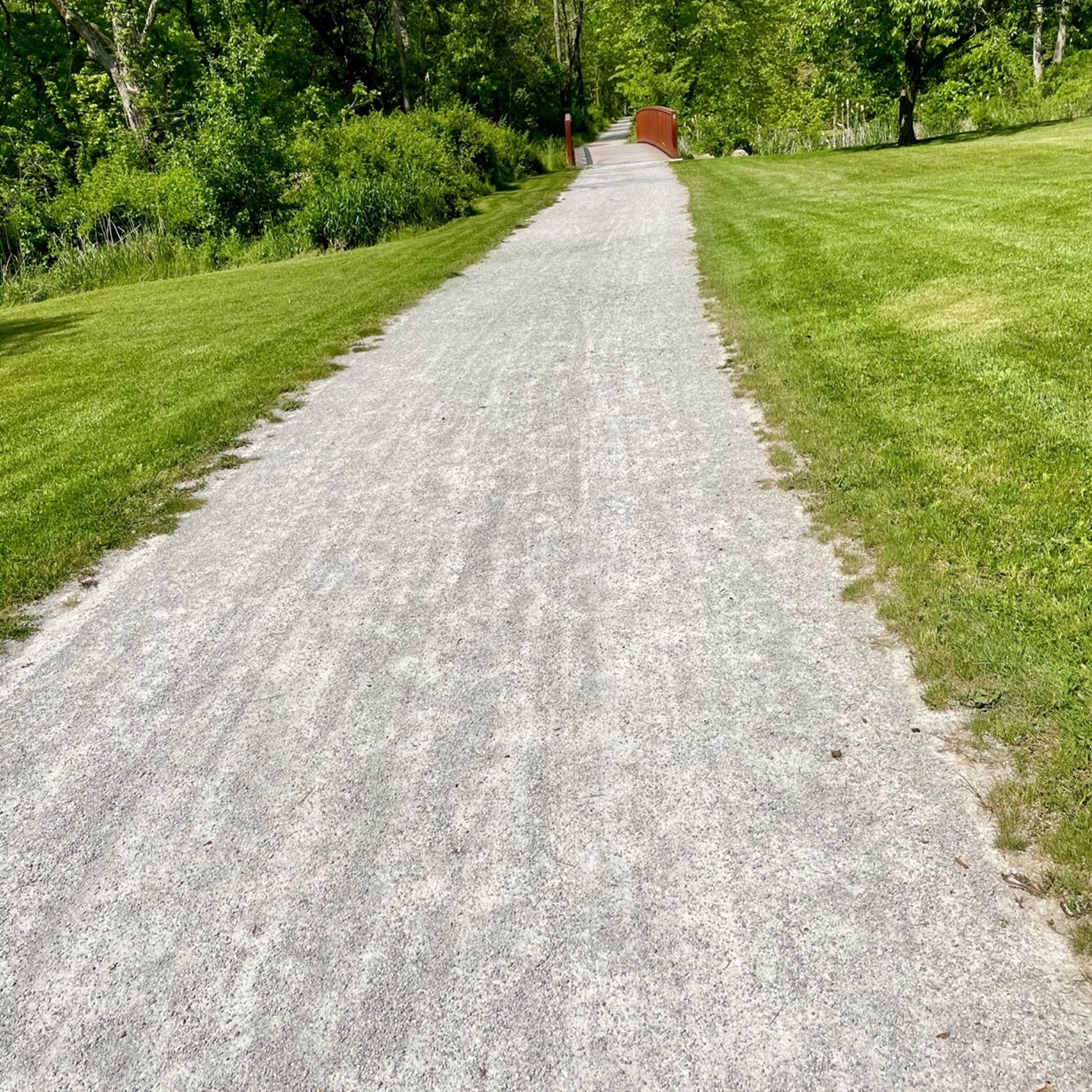
If you are planning to cycle through the Sippo Valley and/or Ohio & Erie Canalway sections, be aware that there are segments of crushed limestone in these areas:
- Sippo Valley Trail – length 9.8 miles – 1 composite section = 3.4 miles
- O&E Canalway Towpath – length 66.7 miles – 5 composite sections = 44.6 miles
These composite sections are easily rideable with hybrid, touring, road, or e-bikes. Tire sizes of 28 mm or larger are recommended.
Due to confusion in the Columbus area, you may want to refer to this page when traveling through the area.
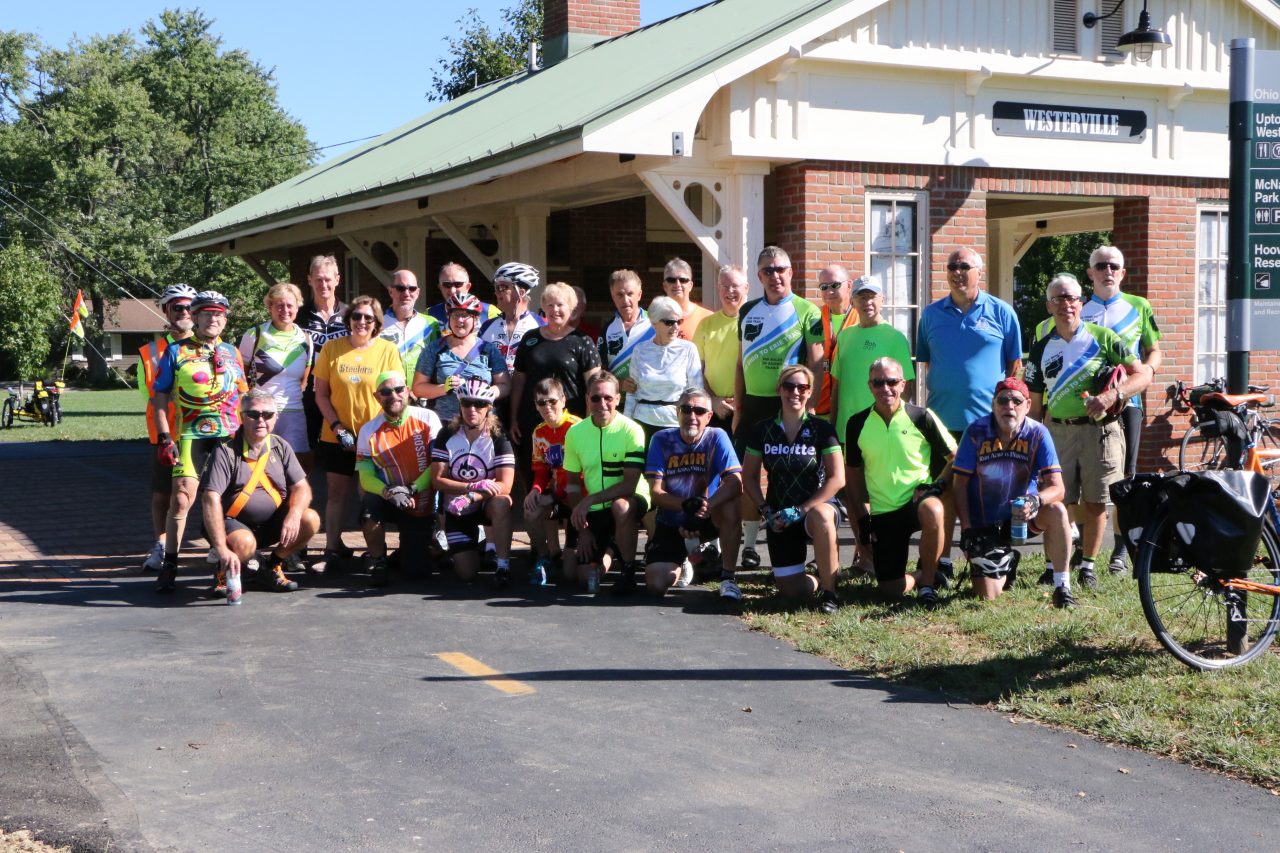
Each of the links below correspond to the printed trail guide offered through our shop.
Download Links
(For help with downloading and using RidewithGPS on some Garmin devices, see this tutorial.)
OTET Northern Region
https://ridewithgps.com/routes/38334991
OTET North Central Region
https://ridewithgps.com/routes/38334848
OTET South Central Region
https://ridewithgps.com/routes/38334709
OTET Southern Region
https://ridewithgps.com/routes/40995848 (updated 9/21/22)
Ohio to Erie Trail Interactive Map
Click on the slider arrow icon in the upper left corner to toggle between views. Tap the “star” to add to your saved maps.