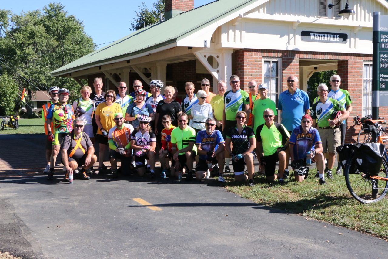
October 2018
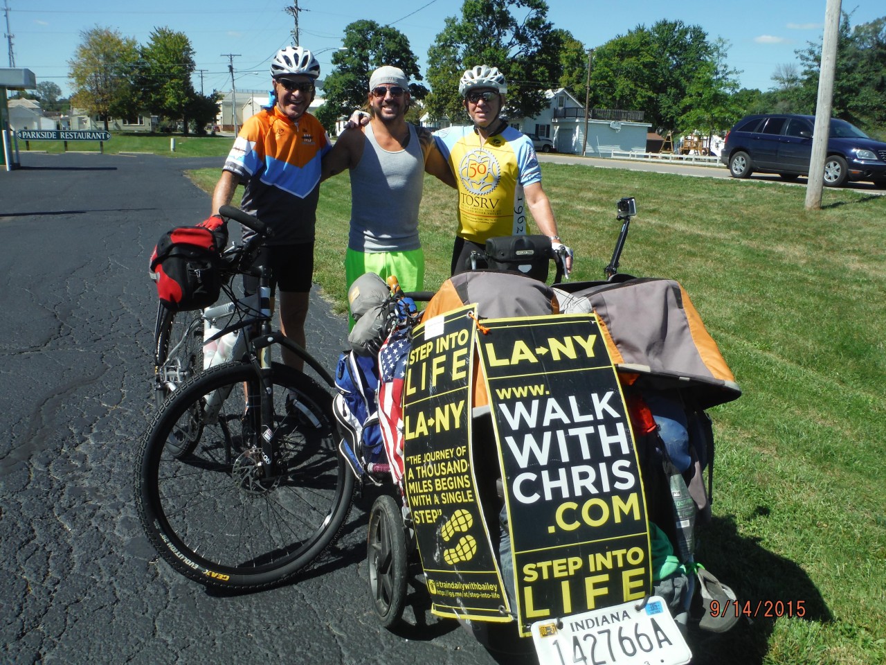
March 2018
April, 2016 – Columbus Route Change – It is official: the new route through Columbus is open and from the Scioto River Trail, trail users will not go north on the Olentangy Trail where it meets the Scioto River Trail just west of downtown. Instead, at the intersection which is now marked with a Route 1 sign, trail users will travel on the connector through Columbus and out east to the new Alum Creek Greenway Trail (ACGT) north to Westerville where it rejoins the current marked OTET route. The new route goes through town passing the convention center and out along I-670 until it comes to the ACGT. Enjoy the beautiful scenery and bridges along the Alum Creek and big thanks to Columbus!
March 6, 2016 – Holmes County Trail Extension – in the next couple of weeks trees and brush along the planned 8 mile section of the Holmes County Trail north of Brinkhaven to Glenmont are being removed to make way for the paving of the old rail bed this spring. OTETF Board Member Tom Alexander reports progress is being made daily by many Amish families who are removing the wood. This will extend the OTET from the current Mohican Valley Trail at Route 62 where it goes under the road and will remove the OTET from that busy road to a beautiful country ride via the ole’ train route to Glenmont. From Glenmont, the OTET will then use Route 520 into Killbuck, thus eliminating Route 62. New Route 1 Bike Signs will be placed as soon as the Holmes County Trail is finished to Glenmont. Alexander reports that the right of way into Killbuck from Glenmont has also been secured and in 2017 the Holmes County/OTET will be off streets from Brinkhaven to Millersburg! Great progress in Holmes County for sure. On the OTET Map 2, this is in Panel 1 which will be included in map up-dates when maps are ordered. Thanks to the Holmes County folks.
February 2016 – Galena, Ohio – the Ohio to Erie Trail travels currently through streets in this beautiful little village just north of Columbus, but plans are underway to pave a Trail through the town and funds have been secured from a Clean Ohio Grant for Trails and matching local funding! Construction is expected this spring. To support this project, donate through gofundme.
February 2016 – Cincinnati, Ohio – the current OTET Route 1 below Milford leaves the Trail surface just west of Avoca Park (Great Parks of Hamilton County) and uses Wooster Pike through the villages of Mariemont and Fairfax, before entering Cincinnati at the Lunken Regional Airport Trail, a distance of about 6 miles. Great Parks of Hamilton County has recently paved about 3 miles along Route 32 on the east side of the Lunken Airport Trail but a bridge is needed to cross the Little Miami River to connect with the Airport Trail’s eastern corner. Once that multi-million dollar bridge is built, the OTET will go off streets for six more miles to Lunken, avoiding the street route of Mariemont and Fairfax.
February 2016 – Cincinnati, Ohio – The Cincinnati Council and Mayor, the Hamilton County Commissioners and SOITA have given approval for the OASIS Rail Line from Lunken Airport Trail’s western section to Friendship Park to be used as a rail trail. This approval has not come with any needed funds: estimated to be over 10 million dollars. Once completed this section of the Ohio River Trail/Ohio to Erie Trail will eliminate about another 5 miles of street and mini-trail sections to downtown Cincinnati that are currently used at Bicycle Route 1.
February 2016 – Holmes County, Glenmont/Killbuck – From the Bridge of Dreams on the Mohican Valley Trail/Ohio to Erie Trail to Glenmont is a distance of about 8 miles through some of the most beautiful countryside that soon will be paved, reports Tom Alexander, OTETF Board member and Glenmont resident and commissioner. Tom tells us that Route 62 will then no longer be a route used by OTET. In 2016 or 2017, plans also call for the Trail to be paved between Glenmont and Killbuck where the Holmes County Trail starts!
February-March 2016 – Little Miami Scenic Trail – Morrow, Ohio – The Little Miami Scenic Trail will be closed for 6 weeks in February and March under the Jeremiah Morrow I-71 Bridge, except for weekends. The closure is necessary as the Dept. of Natural Resources constructs a retaining wall under the bridge to prevent debris from falling on the trail. This is that very high and long bridge on Interstate 71 over the Little Miami River valley below!
November 30, 2015 – Bicycle and Recreational Trails Are Economic Boosts Reports PEW Charitable Trusts
Cities and states have long urged their residents to ride bicycles, as a healthy form of recreation and as a green alternative to driving. Now they’re recognizing pedal power’s economic potential. In Ohio there are more and more trails being built with many connecting to the OTET. The link below is to a report from the Pew Charitable Trusts. PEW Charitable Trust is driven by the power of knowledge to solve today’s most challenging problems. PEW applies a rigorous, analytical approach to improve public policy, inform the public and invigorate civic life. Take some time and read the powerful statements from research about the benefits of trails and what many states are doing to develop more and more trails.
November 21, 2015 – Mt. Vernon, Ohio – Currently the Ohio to Erie Trail comes into Mt. Vernon via the Heart of Ohio Trail and has to use a variety of side streets for a couple miles (Map 2 – Panel 4) to reach the Kokosing Gap Trail off Mt. Vernon Avenue. The following announcement reported in the Mount Vernon News by CHUCK MARTIN, News Staff reporter tells of tremendous progress at removing the route from the streets and back onto a path through town in the spring of 2016. Reporter Martin wrote: “The bicycle path crossing of the Ohio Central Railroad near the CA&C Depot may be built as early as spring, Mayor Richard Mavis announced Friday 11-20-15. Mavis said he had a meeting by telephone with a representative of the railroad and the Ohio Rail Development Authority, calling it “one of the best meetings I’ve ever had with the railroad.” The railroad reported that it will get federal funds to rebuild the Columbus Road railroad crossing, installing new gates and crossbucks, as well as new electronics. Mavis said they will be able to tie the bicycle path crossing (of the OTET/Heart of Ohio Trail) to those electronics and the railroad will not require gates at the bicycle crossing, only lights and crossbucks. The city will provide a backhoe for burying the electronics and will be able to use asphalt at the bike crossing, without requiring the rubber inserts normally used today. The final cost is not determined, but Mavis said the railroad estimated it at $80,000, far better than the $250,000 that was originally quoted to the city.”