Visit Route Updates for additional information
2022 Route updates (extended closures)
Little Miami Scenic Trail, Peters Cartridge, Grandin Road, May 9, 2022
Massillon, updated Aug 10, 2022
Time sensitive Route Assistance – We recommend visiting the peer to peer Trail Enthusiasts facebook group for quick assistance. Go to this link https://www.facebook.com/groups/365793010917596. Another helpful resource is the Ohio to Erie Trail facebook page (viewable without a fb account) https://www.facebook.com/OhiotoErie
Route Alert 8/19/22
Franklin County, Alum Creek Trail
The Alum Creek Trail under Agler Road will be closed on August 22 from 10 AM to 9 PM and August 23 from 7AM to 9 PM. Read “Agler Road To Close Between Westerville Road and Sunbury Road for Bridge Improvements” ARTICLE
Route Alert 7/12/22
Franklin County, Alum Creek Trail
Due to construction work on the Agler Road bridge over the Alum Creek, the Alum Creek Trail will be closed on July 20 and 21 (Wednesday and Thursday). There will also be electronic message boards alerting trail users near the bridge. It is expected that this project will have brief travel delays, but not full trail closure. Enter the area with caution and proceed when directed to go through.
Route Alert 6/17/22
Knox County was impacted by the severe storm the evening of June 13. Clearing will take time and trail users are advised to stay vigilant and find a nearby road if you encounter a blocked area. Crews have been working this week to clear the trails of an unprecedented number of downed trees and debris. Knox County Park district staff, Heart of Ohio Trail, and Kokosing Gap Trail friends’ groups have been working hard in this oppressive heat to open the trails. The Heart of Ohio Trail, Kokosing Gap Trail, and Mohican Valley Trail were impacted.
A huge thank you goes out to these folks who maintain and improve the county’s trails, part of the Ohio to Erie Trail and the Great American Rail-Trail.
Please visit the following on Facebook for the current status and plan your visit accordingly.
https://www.facebook.com/KnoxCountyParkDistrict
https://www.facebook.com/groups/heartofohiotrail
https://www.facebook.com/kokosinggaptrail
Route Alert 6/17/22
Delaware County: Genoa Township; (Update) We will reopen the trail earlier than previously planned (good news!), but (bad news) it will have to close again Monday June 20 for finishing. Please use caution as there is a temporary change in the level of the asphalt. (This section of trail is a little more than a mile between Big Walnut and Lewis Center Road). Details and an image are on the Genoa Twp Facebook page at this LINK
Route Alert 6/3/22
The newest segment linking Delaware, Licking and Knox Counties is NOW open! New Trail Guides will be printed this Fall and until then, an updated NC4 map panel is now available for download here.
Route Alert 6/1/22
Summit County: The Ohio & Erie Canal Towpath Trail just north of Summit Lake by Russell Avenue to South Street will be closed due to construction starting on the morning of Monday, June 6th. It will reopen on the morning on Monday, June 20th. – Ohio & Erie Canalway Facebook post
Route Alert 6/6/22 (update)
NO TRAIL IMPACTS
Franklin County: Due to unforeseen circumstances, Agler Road WILL NOT be closing today, Monday, June 6, 2022. We hope to reschedule this closure soon and will share the information when it is available.
Franklin County: June 6 to mid-August.
Alum Creek trail will have intermittent closures for the Agler Road bridge work and trailhead addition. There is no official detour and we will add details of a work around when we have one.
The project will add a trailhead to access the Alum Creek Trail southwest of the bridge. During construction, the Alum Creek Trail can be closed up to 8 times for up to 14 days. The contractor is required to give a week’s notice prior to each closure.
Route Alert 5/9/22
Between Xenia Station and Selma (Greene/Clark Co. line), there will be trail paving May 9 to July 1. The sign says 7 AM – 4 PM Monday-Friday closures.
Signs are up near Xenia Station, Cedarville (2), and one just west of Selma. Detour information will be added to the post as we learn more. READ ARTICLE at miamivalleytrails.org
Route Alert 3/10/22
November 2021: A new section of trail was completed in Delaware County northeast of Sunbury. Although new Trail Guides won’t be printed until the Fall of 2022, an updated NC4 map panel is now available for download here.
Please note that the remaining section of the trail will connect to the Heart of Ohio Trail by June of 2022. (Insert replaces Map panel NC4)
Route Information – 2/25/22
The Grandin Road bridge replacement in Warren County will have periodic closures of the Little Miami Scenic Trail over the next 18 months. Learn more by reading this Dayton Daily News ARTICLE read the May 9, 2022 UPDATE
Route Assistance 2/15/22
Trail visitors have asked for additional tools for finding their way in Franklin County/Columbus. Go to this Columbus Navigation Page for details.
Route Updates 11/15/19
Galena Northbound updated section (Map panel NC5)
Galena Southbound updated section (Map panel NC5)
Route Updates 8/31/18
The Cleveland area has a lot of progress going on and will continue to change until 2020.
The information located on this map pertains to panel N1 just before you get to the Lakefront area.
The information located on this map pertains to panel N2 in the Jennings Rd./Steelyard Commons area.
Route Updates as of 11-1-17
This web site no longer supports the OTET Maps sold prior to 2-2017. So many changes along the Ohio to Erie Trail route makes up-dates entirely too cumbersome. New Tour Guides are available in the web site store.
North Region – Panel N3 – Akron – a section of the Ohio to Erie Trail known as the Ohio & Erie Canal Towpath Trail in Akron has a one-mile detour between the current Memorial Parkway and Mustill Store Trailheads. The detour uses Hickory Street to the west of the Trail until 2018 during construction. This detour of Towpath Trail and Ohio to Erie Trail does provide a safe, easily identifiable and mostly accessible trail for hikers and bicyclists. There are short sections that involve steep grades along the Maple Street Connector of the new route – 10% & 15% – where walking a bike may be preferred. It is signed. Also note that the area in Akron has no Route 1 signs. We are still working with the folks there to realize the OTET is STATE wide.
North Central Region – Panel NC1 North of Mohican Valley Trail – This panel shows a new section of the Holmes County Trail from the Mohican Valley Trail to Glenmont that is now opened! Follow Route 1 signs to Killbuck on Route 520.
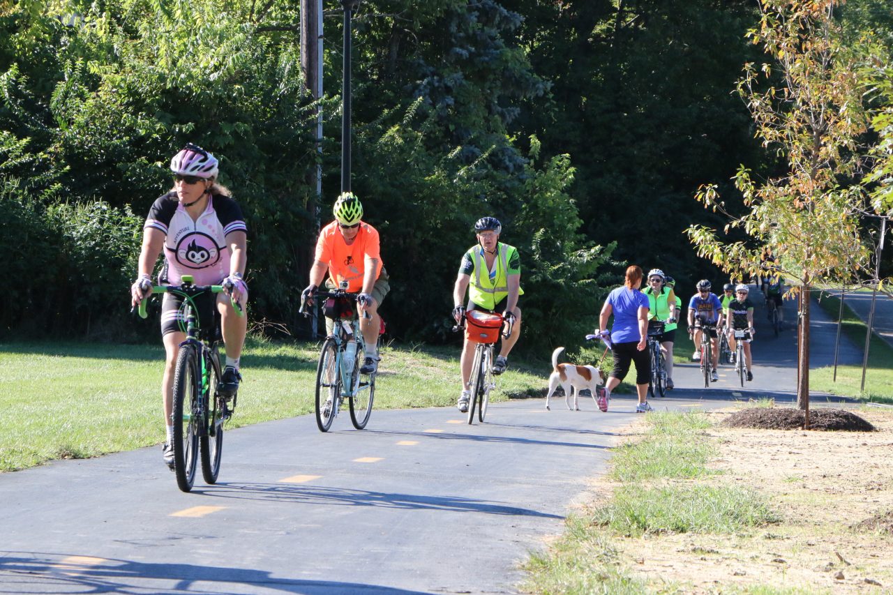
North Central Region – Panels NC5 and NC6 – Westerville City – note that in the City of Westerville there are plenty of very nice white and green signs that say Ohio to Erie Trail and other OTET signs that are high on poles or on lower sign panels. There are NO route 1 signs for about 6 miles through this busy city but most of the trail is on the Westerville Bike and Hike Path. Watch carefully for the signs for OTET. They have an abundance of the US BR 50 signs and it does follow the OTET for much of the way but it goes east and OTET goes northeast. The OTET Tour Guides will take you through, so follow them!
South Region – Panels S4, 5 & 6 -Cincinnati – this is a navigation clarifications and not route changes from the tour guide. Two areas need traveler attention. Going towards Cincinnati after turning on to Kellogg Avenue from Carrel, in one-half mile the trail goes left (south) around the back of the school on stilts and not straight on Kellogg Avenue. While the trail returns to Kellogg/Riverside Drive later, this beautiful one mile trail section winds along the Ohio River where there are ball fields and a boat ramp with very little car traffic compared to Kellogg. When the trail ends at Corbin, turn right for one block and you are back on Kellogg which now has become Riverside Drive to the city and it is well marked. Turn left at Riverside and Corbin toward downtown Cincinnati.
9/15/2017
Traveling to Cincinnati by Airplane? – Go to our page Planning Your Trip for details on how to get from the Cincinnati/Covington (CVG) Airport in Northern Kentucky to downtown Cincinnati and the start of the Ohio to Erie Trail. We have outlined the available bus transportation from the Transit Authority of Northern Kentucky and detailed a bicycle route for the 12 miles.
Navigating the Trail – some clarifications are for only north or only south travelers…
Cincinnati – these first two alerts are navigation clarifications and not route changes from the trail guide maps. Southern Region OTET Tour Guide Map, – Panels S-4 and S5. Two areas need traveler attention.
1. Going south towards Cincinnati after turning on to Kellogg Avenue from Carrel, in one-half mile the trail goes left (south) around the back of the school on stilts and not straight on Kellogg Avenue. While the trail returns to Kellogg/Riverside Drive later, this beautiful one mile trail section winds along the Ohio River where there are ball fields and a boat ramp with very little car traffic compared to Kellogg. Kellogg and then Riverside Drive have a bike lane on the road, but the OTET goes behind the school with the Ohio River Trail. When the trail ends at Carrel, turn right and in a block you are back on Kellogg which now has become Riverside Drive to the city and it is well marked. This is visible in the Southern Region Map of the OTET Tour Guide, Panel S4 – Linwood-Hyde Park.
2. Traveling south – The route 1 bicycle sign at Bain and Riverside at the red light to cross and enter the OTET at Berry International Friendship Park is missing but the trail is easily visible on the south side of Riverside Drive. It is possible to stay on Riverside and catch the trail at other places, but the easiest is to take this first sign of a trail on your left. Do not go east on the Lunken Trail but continue south on the new concrete construction on the west side of Lunken Airport. This is visible in the Southern Region Map of the OTET Tour Guide, panel S5 – Ohio River Trail.
Galena – NC5 – We now have the old Ohio to Erie Route 1 THRU Galena marked as an Alternate Route so that visitors can go through town, eat at the restaurants and certainly visit the Hoover Boardwalk. The ALT route brings travelers right back to the new route going south and going north. Do not miss the Galena Brick Trail (a huge brick factory once existed in the area next to the trail) that goes over Little Walnut Creek.
Columbus to Westerville – NC5 and NC6 of the North Central Region Tour Guide – note that through Westerville (below Maxtown Road to Alum Creek Trail north to south and south to north), a distance of six miles, the City has nice decorative signs on poles as well as on signs at intersections, but no Ohio Bicycle Route 1 signs. They have recently (8-5-17) installed the older and smaller Ohio to Erie Trail signs with the map of Ohio. These signs will guide travelers through the city’s many turns and streets. So look for the white and green signs that read “Ohio to Erie Trail” and have the map of Ohio on them.
North Central Region Map, OTET Tour Guide panel NC1 (Killbuck to Glenmont) – The tour guides are accurate for the newly opened 9-1-17 section of the Holmes County Trail. This 8-mile section between Brinkhaven and Glenmont is now open which takes the Ohio to Erie Trail route off Route 62 and several rural roads so we will then utilize Route 520 until the final Trail section is paved from Glenmont to Killbuck. The remaining right-of-way has been secured and funding for the final 10 miles is all but complete.. When finished this part of the Holmes County Trail will eliminate road travel completely along the approximate 16 miles from the Bridge of Dreams to Killbuck, to Millersburg and north! Currently, the OTET Tour Guide does show this newest section that has been paved AND the current road route that is still marked with Route 1 Bicycle signs.
Northern Region Tour Guide, Panel Map 1 – Panel N4 – Akron – since November 2015, the section of the Ohio to Erie Trail known as the Ohio & Erie Canal Towpath Trail in Akron had had a one-mile detour between the current Memorial Parkway and Mustill Store Trailheads. The detour uses Hickory Street to the west of the Trail for three-years during the construction of a waterway project. This detour route for the Towpath Trail and Ohio to Erie Trail does provides a safe, easily identifiable and mostly accessible trail for hikers and bicyclists. Note: There are short sections that involve steep grades along the Maple Street Connector of the new route – 10% & 15% – where walking a bike may be preferred. Follow the temporary signs. Use this link to see a video of the detour by bicycle. https://m.youtube.com/watch?v=OfxDlxJ6E2Y&feature=youtu.be
South Central Ohio Region of Tour Guide – Panel SC4 – Darby Creek Drive – London – going north from Georgesville, the Camp Chase Trail is completed all the way to Sullivant Avenue where the route turns left (west) for only a couple hundred feet to Industrial Road. At that light, the trail route heads north and east on Industrial for only one mile until it comes to a light at Georgesville Rd. where the route takes a right (south) turn and continues to follow the Camp Chase Trail east for 3 miles until it crosses Broad Street on an overpass and ends up at N. Eureka. Proceed north on Eureka Ave – east on Valleyview (becomes Highland then Harper). Cross McKinley Ave and enter the Scioto Greenway trail via the Hilltop Connector Bridge, at the end of the connector bridge go LEFT at the fork to follow the Scioto Greenway Trail toward downtown where you connect to the Northbound Olentangy Trail at the Confluence (The Boathouse). NOTE…one you reach the Hilltop Connector, you no longer take the Olentangy Trail north, but instead take the Scioto River Greenway east into Columbus. This is on panel SC3 of the South Central Region Map of the OTET Tour Guide.